Optimizing Bridge Elevations to Reduce Flood Damage
Posted: Jan 28, 2021
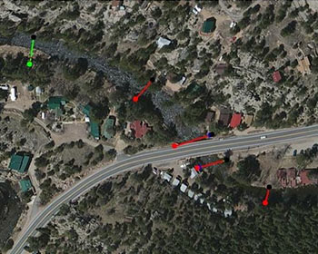 Researchers at Colorado State University developed a method that engineers can use to optimize a road segment and all bridges on the roadway for height above a river or creek to reduce the potential damage to the transportation network to a consistent level of risk and assure transportation access for residents during flood conditions. The research was prompted by damage to several bridges and the associated road system in Colorado during a September 2013 flood, which resulted in the need for residents of several communities to be evacuated by helicopter.
Currently, bridge superstructures are designed based on the 100-year flood with a required amount of freeboard, or clearance distance between the water surface and the low chord of the girder, for bridges to allow for wave surges and debris to pass under the bridge. However, there is a trend toward more frequent occurrences of low-probability storm events that increase the probability of damage to bridges and the road network. Results from the fragility analysis were then used to determine the elevation adjustments needed to reach a level that would reduce post-flood repair cost, increase bridge safety during a low-probability storm event, and increase the flood resiliency of the transportation system.
John W. van de Lindt, Ph.D.
Colorado State University
Reducing Flood Vulnerability of Communities with Limited Road Access by Optimizing Bridge Elevation
MPC-20-423